On Wednesday 19th February, at the invitation of our colleagues from the British Antarctic Survey (BAS), we spent the day visiting our partner’s headquarters in the city of Cambridge. The day began with a presentation summarizing the work currently underway at BAS including hosting doctoral students under various landscape and focal awards, advanced training fieldwork in the polar regions and an overview of what lies ahead for BAS and its polar operations in the near future. Our students learnt about a SiCLING project (weird fluffy stuff – no pun intended) and on the logistics and environmental challenges when building on the Rothera Research Station. More on the ongoing construction project aiming at modernizing the UK’s largest research and operations hub in Antarctica can be found here.
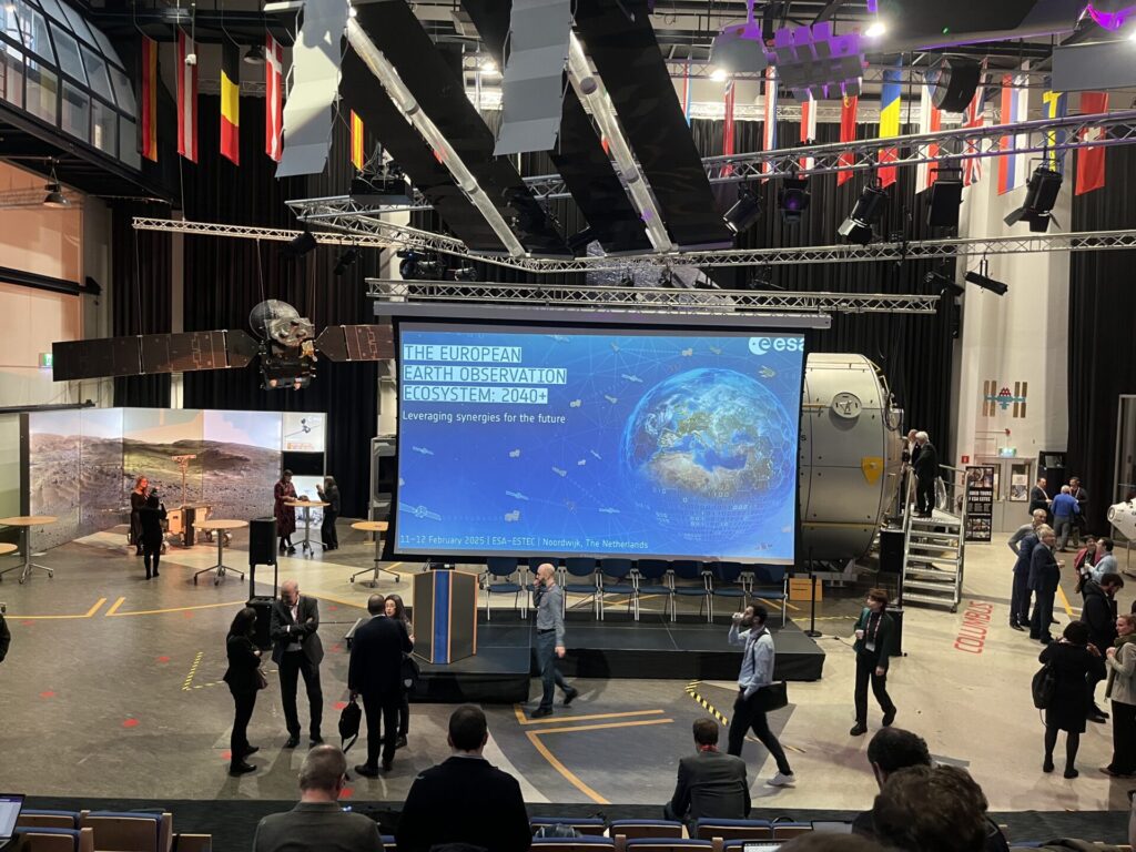
We also heard on the local and global effects of climate change and the fascinating work happening behind the scenes when developing reports for policymakers and the UN (IPCC Special Report on Oceans and Cryosphere in a Changing Climate).
Next, we received a presentation on paleoclimate study of the microparticles trapped in ice cores aiming to reconstruct past environmental changes and had a glimpse of the Antarctic sea floor ecosystems.
In the second part of the day, we heard from SENSE students and their counterparts based in BAS on their latest findings and the progress they’re making in their respective research fields. Not only did they have an opportunity to showcase their public speaking skills (we are well impressed!) but more importantly, to shine a light on the topics they are passionate about – true scientists in the making.
Last but not least, we had a unique opportunity to tour two of the research facilities at BAS: the Mission Control room and the Herbarium. In the state-of-the-art Mission Control room our students journeyed to the Antartic, even if only virtually. In the Herbarium, hosting over 40,000 plant specimens from the polar and sub-polar regions, the students observed how the professionals organize the vast collection of plants and manage data. Seeing the inner workings of both facilities and interacting with researchers and technicians throughout the day, gave the visitors an excellent insight into the important work taking place at BAS and was an eye-opening experience with valuable takeaways.
We know how much our students value opportunities to network with like-minded individuals. We trust that the visit to BAS led to interdisciplinary collaborations, fresh perspectives, and constructive feedback, and hopefully elevated the quality of our students’ research.
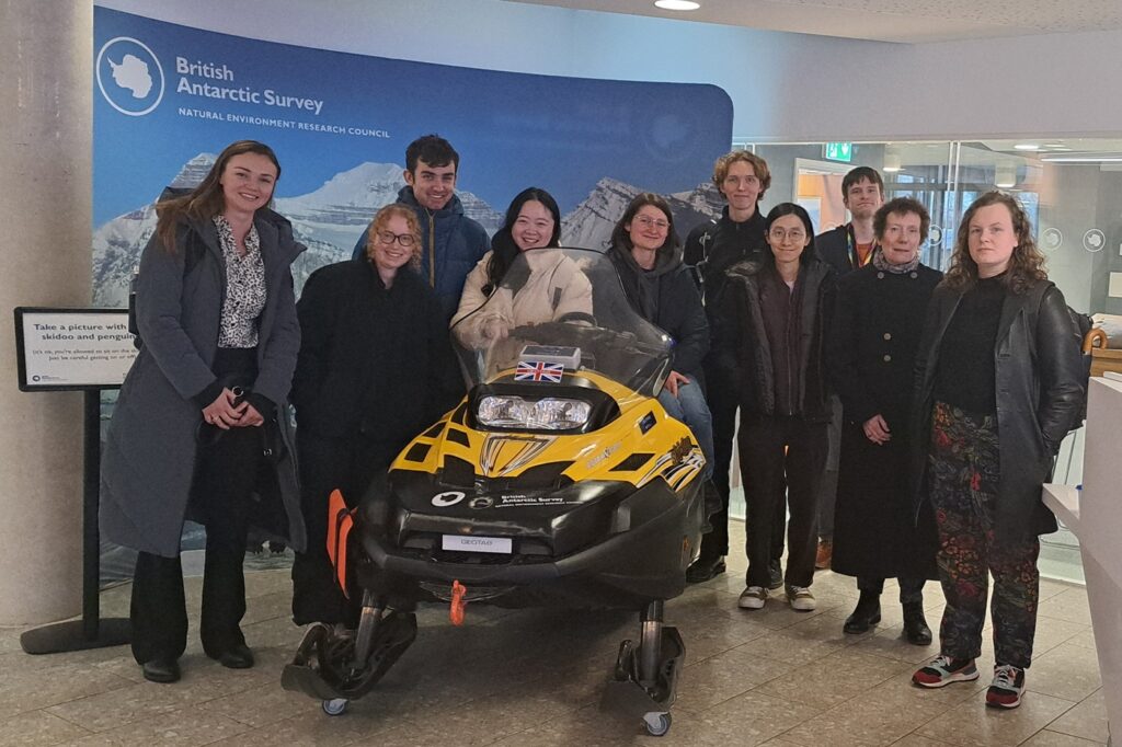
The visit wouldn’t be possible without the support of Andrew Fleming, Ali Teague, and our two wonderful students Katie Lowery and Luisa Aviles Podgurski. A special thank you note goes out to our funder, the Natural Environment Research Council.