eleanor
Poverty, Environmental Risk, Conflict, and Governance
SENSE CDT Deputy Director Gary Watmough presents at UNGA79 Science Summit on United Nations Sustainable Development Goals (SDGs).
“Wicked problems – How to Analyze Links between Environment, Climate and Poverty, Health and Child Deprivation”
Antarctic-wide survey of plant life to aid conservation efforts
Check out SENSE student Charlotte Walshaw’s paper ‘A satellite-derived baseline of photosynthetic life across Antarctica’ was published in Nature Geoscience today.
Charlotte has produced the first continent-wide mapping study of plant life across Antarctica. The satellite survey will be the baseline for monitoring vegetation in Antarcticas’ response to climate change. The mapping of previously uncharted regions will inform future conservation efforts.
Charlotte measuring the location of moss on Robert Island, maritime Antarctica (photo: René Quinan/INACH).
Charlotte Walshaw, PhD researcher from the School of GeoSciences, University of Edinburgh, who led the study, said: “Our continent-scale map provides key information on vegetation presence in areas that are rarely visited by people. This will have profound implications for our understanding of where vegetation is located across the continent, and what factors influence this distribution.”
Vegetation in Antarctica is dominated by lichen and mosses. Image from Livingston Island, maritime Antarctica (photo: Felix Grewe).
The research, published in Nature Geoscience, was funded by the Natural Environment Research Council (NERC) and UK Space Agency. Field campaigns were supported by the British Antarctic Survey, Instituto Antarctic Chileno and Antarctica New Zealand.
Find out more about Charlotte
SENSE UK Space Agency Prizes 2024
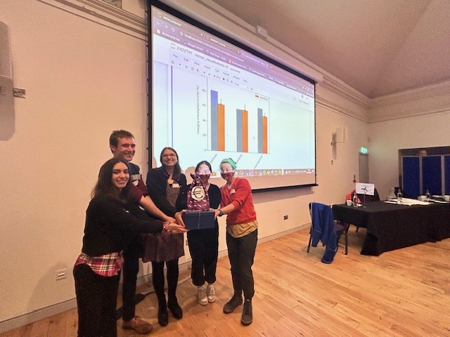
We want to thank you to those who attended the SENSE celebration event last month and we are delighted to announce our first SENSE annual prize winners for Cohort 1. This year’s prizes were sponsored by the UK Space Agency and presented by Beth Greenaway (Head of EO & Climate) at the celebration event. Whilst we wish we could recognise all are amazing students’ achievements the SENSE prizes were created to recognise students how have gone above and beyond in different areas of their PhD. Thank you to those who provided nominations, it was difficult for the panel to select the winners.
Find out more about our outstanding students below!
Best Paper Prize: Emily Dowd
The paper describes the first validation of high-resolution satellite derived methane emissions from an active a gas leak in the UK. Emily drove the scientific collaboration and led the publication. She also established and led the collaboration with the UK Met Office, the Canadian Commercial Satellite company GHGsat, Royal Hollaway, RICARDO and the University of Bristol.
The paper was selected as a highlight paper by the journal due to its innovative nature and significant results. Emily’s work gained a lot of exposure through the media, conferences and other presentations including the paper already being viewed nearly 2,000 times, far more than other papers of its age in AMT.
Best Outreach: Calum Hoad
Calum is awarded this prize for his multitude of engaging outreach projects carrying his knowledge, expertise and enthusiasm to a wider audience.
Calum is a co-founder of SatSchool, who you have already heard present today. Calum played a key role in securing funding for the project. He has held the roles of secretary, chair and going into schools personally reaching ~300 high-school students so far.
In addition, Calum has independently undertaken activities including Meet the Scientist event, being on panels about research in schools, a developer of tour from space used at science festivals and available on the SENSE website.
Calum also mentors undergraduate students to develop their own activities and gain confidence through the GeoSciences Outreach and Engagement course.
Best External Engagement: Bryony Freer
Bryony Freer is awarded this prize because of her commitment to knowledge exchange.
Bryony has taken an active role in promoting Antarctic issues, climate change and remote sensing science to a broad range of audiences. Her activities include giving talks and engaging with questions at high-profile public events (including Ice Worlds at the Royal Maritime Museum and the Be Curious Research Festival), interacting with policy makers and the public (COP 26) and with school children.
Bryony also undertook an extremely successful placement with ISARDSAT where she visited their Barcelona offices. She also spent time at the Scripps Institution of Oceanography conducting her research and disseminating her findings including visiting NASA. Bryony has since developed these connections and work to win a prestigious Schmidt Science Fellowship hosted at Scripps in the US which she will be undertaking after completing her PhD with SENSE.
We look forward to seeing the nominations for next year and once again congratulate this years winners and all our SENSE students for all their amazing achievements!
Acknowledging SENSE CDT
When publishing journal papers as a SENSE CDT student, usual NERC rules apply: open-access in some capacity is required. Publishing of code and datasets is strongly encouraged, but not required.
When you publish a paper, make sure you acknowledge the NERC grant number:
“Funding for this research was provided by NERC through a SENSE CDT studentship (NE/T00939X/1).”
Logos
Please use the logos below if your presenting any work you’ve produced during your time with the NERC SENSE CDT.
*Right click and click ‘save as’ to download.
SENSE Logo on White Background
SENSE Icon only on a White Background
SENSE Colour Logo on Transparent Background
SENSE Logo in Black and White on a Transparent Background
SENSE Logo in White and Light Grey on a Transparent Background
SENSE Spotlight – Charlotte Walshaw
Name: Charlotte Walshaw
Institution: University of Edinburgh
PhD Project title: Mapping photosynthetic life across Antarctica using optical satellite and UAV imagery
Supervisory team: Claudia Colesie (University of Edinburgh), Andrew Gray (Norwegian Institute for Nature Research), Peter Convey (British Antarctic Survey) and Kevin Newsham (British Antarctic Survey)
What is your background?
I have an integrated masters degree in Environmental Science (MEnv, Bsc) from the University of Leeds. One of these years was spent studying abroad at Monash University in Melbourne, Australia. The degree program was incredibly broad and included studies of the biosphere, geosphere, hydrosphere, cryosphere and atmosphere. This varied knowledge base set me up well for a PhD in Earth Observation, which itself is an extremely interdisciplinary field. For my masters project I used BIOME4 model reconstructions in addition to model projections to assess the analogous nature of the mid-Pliocene Warm Period for forecasting future vegetation changes in the Arctic.
Tell us about your project and the area of environmental science are you most excited about?
Well currently the area of environmental science that excites me the most is vegetation in the polar regions! To survive in Antarctica, the vegetation has to be incredibly resilient and well-adapted to withstand extreme freezing and desiccating conditions, as well as extended periods of darkness each year. Mosses, lichens, algae and cyanobacteria in Antarctica really are the extremophiles of the vegetation world!
For my research, I use multispectral satellite and UAV imagery to map vegetation at different spatial scales across Antarctica. I also use field and lab-based spectroradiometer data to analyze spectral reflectance signatures of different Antarctic moss and lichen species and assess their variability with environmental conditions. For the first part of my PhD, I produced a map of terrestrial vegetation across the entire Antarctic continent using spectral reflectance indices applied to Sentinel-2 imagery. This map will mark the baseline for which to compare future changes against. During this time, I also produced a spectral library of various Antarctic moss and lichen species.
During my PhD I have been fortunate enough to have qualified as a drone pilot (GVC) and to have had two summer field seasons down in Antarctica. The first campaign took place over three months on Robert Island (South Shetland Islands), with logistics supported by the British Antarctic Survey/INACH and the project funded by a NERC snow algae grant. The second field campaign took place over two months in the McMurdo Dry Valleys (based at Scott Base). Logistics were supported by Antarctica New Zealand and I was supporting a project funded by the Antarctic Science Platform. During both these field campaigns I conducted field spectroscopy, multispectral UAV flights, satellite ground validation, vegetation gas exchange and field sampling.
Since returning from fieldwork I have been using spectroscopy data that I collected on Robert Island to link NDVI to the photosynthetic activity of Antarctic moss. The aim is to
assess the potential of satellite and UAV imagery to remotely monitor moss photosynthesis in Antarctica. Lastly, I will be classifying vegetation in orthomosaics that I
generated from high resolution (sub-cm) multispectral UAV flights on Robert
Island, to assess the capability of such imagery to map moss and lichen down to
species or genus level. The goal is to improve our understanding of UAV sensor
capabilities for mapping Antarctic vegetation at fine spatial scales, which ultimately
will help us to move towards a more standardized way of mapping vegetation
across Antarctica with UAVs.
Was using satellite data at the core of your PhD project important to you?
I had an open mind when I was looking for PhD opportunities within environmental science. However, being able to work with satellite data over Antarctica is particularly exciting because although I have been lucky enough to have visited myself, the remote work provides a great means of studying the most remote continent on Earth from the comfort of my own office in Edinburgh! The scale of satellite data has also enabled me to work on mapping Antarctic vegetation at the continental scale, which is quite a mind-blowing concept when you consider how big Antarctica really is!
Why did you decide to enter the space sector?
I have been interested in the space sector from a very young age and always wanted to learn more about how remote sensing worked. This interest was also fueled by completing a work experience placement at RAL space in Oxfordshire with a satellite operations manager. So when this PhD opportunity came up combining my interests in vegetation and satellite data in Antarctica I was sold. I had never considered that combination before!
What does equity, diversity and inclusion mean to you?
Within the research institution, I think having equal access to training opportunities that are relevant to your work are really important. I also believe that being included in a research community within your department is very beneficial. Within the School of Geosciences, I have been included in the biosphere group which holds weekly meetings with research talks and fresh fruit!
What are your hopes for future PhD students?
That all future PhD students can be part of active and supportive research groups which meet regularly and provide a sense of community for the student. I am lucky to be part of the cryptogamiacs research group (link below), which holds bi-weekly meetings to discuss relevant science as well as hosting social outings too.
Any tips for those interested in applying for PhDs?
Look for a topic which really interests you, it doesn’t necessarily need to be directly related to the topic you are currently working on – I hadn’t worked much with remote sensing data before I started the PhD! Also talk to potential supervisors as having a great and supportive supervisory team makes a massive difference to the PhD experience.
Find out more about Charlotte:
Cryptogamiacs research group webpage: Cryptogamiacs – A seriously cool page about cryptogams (ed.ac.uk)
Edinburgh blog: Charlotte Walshaw (ed.ac.uk)
Linkedin: https://www.linkedin.com/in/charlotte-walshaw-4a5622211/
Research paper: Antarctica’s vegetation in a changing climate – Colesie – 2023 – WIREs Climate Change – Wiley Online Library
SENSE Celebration Event 2024
22nd May 2024
As our first cohort approaches the end of their studies the SENSE Centre for Doctoral Training are hosting a special celebration event to bring together all our students, supervisors and friends of SENSE.
This event will take place in person concurrently at the University of Edinburgh and University of Leeds and will include talks from guest speakers and a celebration lunch. We also have a short prize giving celebrating the excellent work both academically, engaging externally and excellence in outreach.
We look forward to seeing everyone there!
SENSE Spotlight – Elle Smith
Name: Elle Smith
Institution: Institute for Climate and Atmospheric Science, University of Leeds
PhD Project title: Urban Forests through Space and Time
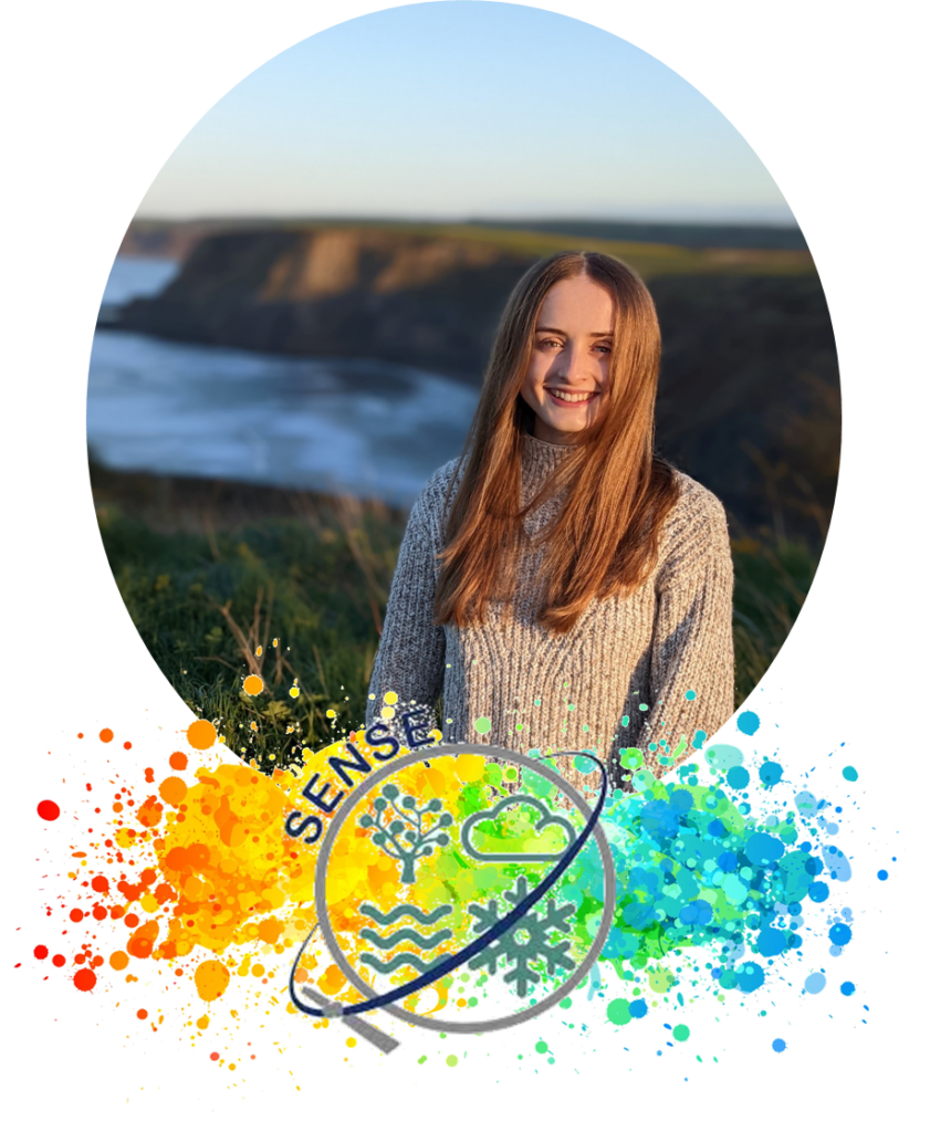
What is your background?
I’m currently in the second year of my PhD, where I’m part of the Biosphere Atmosphere Group at the University of Leeds. My undergraduate degree was in Physics at Durham University where I particularly enjoyed learning how to code with Python. However, it was during my year abroad that I became interested in environmental science. I spent a year studying physics in Paris and took one module which looked at the physics of the weather and atmosphere. This led me to apply for a job as a software developer at the Centre for Environmental Data Analysis (CEDA), which I started after my degree. This combined my two interests: programming and environmental science.
After a couple of years at CEDA I decided I wanted to spend a bit less time on writing software and a bit more time doing some science, so I then completed an MRes in Climate and Atmospheric Science at University of Leeds. During my MRes I discovered an interest in trees which brings me to my PhD!
Despite the module I took in Paris and doing an MRes with atmospheric science in its title, I have very little background in atmospheric science. My module choices were more focused on physical climate change and using numerical methods to investigate climate change. I also did ‘double science’ GCSE and took only Physics to A Level, so I definitely feel lacking in this area. This can create feelings of being an imposter, especially as I am part of the Institute for Climate and Atmospheric Science (ICAS), however my research is relevant and I wouldn’t be there if it wasn’t, which is important to remember.
Tell us about your project and the area of environmental science are you most excited about?
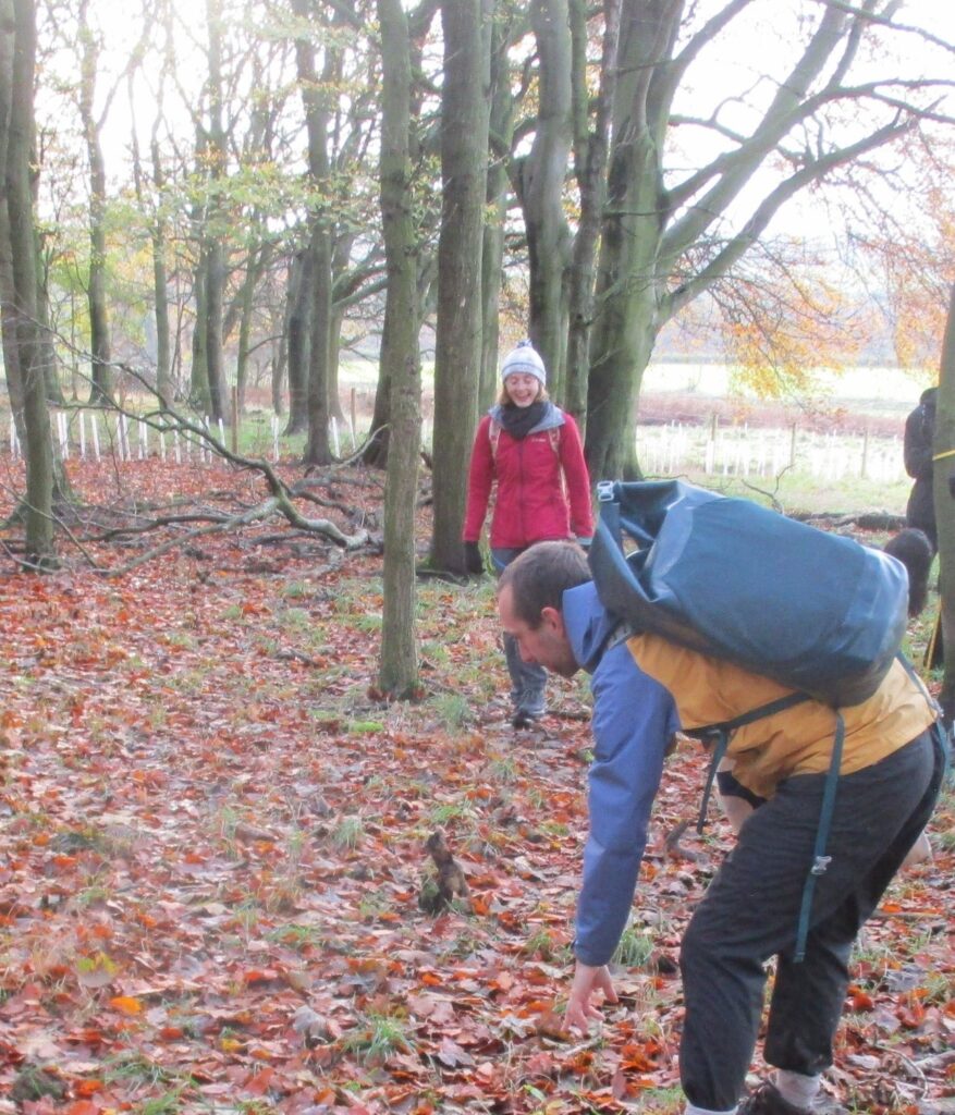
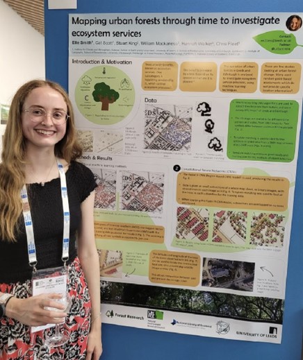
My project investigates the trees in Leeds and Edinburgh (also known as urban forests). I am comparing the location, quantity, and composition of these urban forests between the 1890s and the present day. Doing this comparison allows me to look at the benefits urban trees have provided to these two cities through time, which can inform tree planting plans for the future. To do this I am using historical maps, provided by the National Library of Scotland, to analyse the urban forests of the past and aerial photography datasets for the present day.
The area of environmental science I am most excited about is how trees can contribute to climate change mitigation while also providing other benefits, known as ecosystem services. Urban trees provide benefits across multiple areas which includes supporting biodiversity, being a resource for education, improving mental and physical health and reducing unwanted noise on top of the climate and atmospheric benefits such as carbon sequestration, reducing temperature and removing air pollutants. Forest Research is a great resource for learning more about this.
I have extracted tree symbols from 1890s Ordnance Survey maps of Leeds and Edinburgh using a machine learning method called object detection. This has allowed me to understand how the trees were distributed across these two cities in the past. The next steps in my work will be to investigate various benefits of these trees and how the provision of the benefits has changed through time.
Was using Earth Observation data at the core of your PhD project important to you?
Using Earth Observation (EO) as my part of my PhD wasn’t something I was looking for particularly, but it has opened up a whole new set of possibilities in terms of what I can do with my research project and the skills I have gained through SENSE and how I can use these once I finish my PhD.
EO data is so useful for studying large areas of trees. On the ground surveys are nowhere near as efficient and as a result researchers usually only survey samples of trees to represent the whole area. Combining machine learning with EO data allows each individual tree to be identified and analysed, providing a much more comprehensive study of an area. It also makes this kind of work more accessible as we can study remote areas or areas on the other side of the world without having to leave our desks. Another benefit is that EO data is available for many years into the past, so we are able to examine changes through time without having to have done on the ground surveys each year, which is hugely beneficial – saving on time, money and other resources. I regularly wish that high resolution satellite data was available for the 1890s so I could compare it to the maps that I’m using!
Why did you decide to enter the space sector?
I didn’t set out to be involved in the space sector, but it is definitely a great place to be. My main interest for my PhD was a focus on trees and climate, but I’m so pleased that this is where I’ve ended up. So much of our future research will depend on Earth Observation so it is fantastic to be building skills which will help me with this.
What does equity, diversity and inclusion mean to you?
For me this is about everyone being comfortable being their true self at work, feeling valued and not fearing judgement. This not only applies to office-based work but field trips and teaching positions. It’s also about everyone having equitable access to the same opportunities, which sometimes means providing support to some for areas where others may not need it.
EDI is something that SENSE is constantly working to improve, and this is evident across all the activities that I have been involved with.
What are your hopes for future PhD students?
I’d like to see more opportunities for students to gain experience of what PhD research is like. Many students can’t afford to study at master’s level to get experience of an independent research project so either think a PhD is not for them or go into it not fully understanding what it is that they’re doing. I would hope that opportunities like this, especially if they are paid, would demonstrate to more people that they might enjoy a PhD which would increase diversity.
Any tips for those interested in applying for PhDs?
- Spend some time looking into the topic and really thinking about whether it is something you want to spend 3-4 years working on. Speaking with the project supervisors can really help with this and will demonstrate that you’re thinking seriously about the project.
- If you don’t have a lot of research experience don’t let this put you off, skills from industry, placements and previous degrees are highly valued. However, if you have any doubts that research is right for you, try and gain some experience e.g., a short research placement, to ensure that this is something that you will enjoy.
- Don’t be put off by gaps in your knowledge. A PhD is all about learning new things, so if there’s something you don’t know about, you will be able to pick it up as you go along.
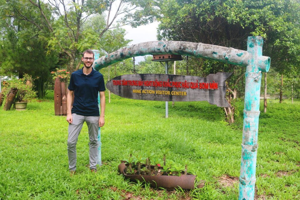
Investigating UXO in South East Asia – an exciting trip for Philipp
In autumn 2023 SENSE student Philipp Barthelme travelled to Southeast Asia as part of his research on the long-term impacts of the Vietnam War. Here Philipp reports on his visit:
For many people my age the Vietnam War seems like a conflict from a different time. However, for millions of people in Southeast Asia, the effects of the war are still very real today. During the Vietnam War, more bombs were dropped on Vietnam, Cambodia and Lao PDR than during the entire Second World War. As a result, about 20% of the land in these countries remains contaminated with unexploded ordnance (UXO).
As part of my research, I have been looking at historical U.S. satellite images, taken during and immediately after the war. These high resolution (0.6 – 1.2m) images, which have recently been declassified, clearly show the destruction caused by the bombing and herbicide spraying. My research so far has focused on automatically detecting bomb craters in the imagery which could help to better understand the remaining contamination with UXO in Southeast Asia.
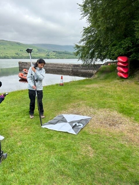
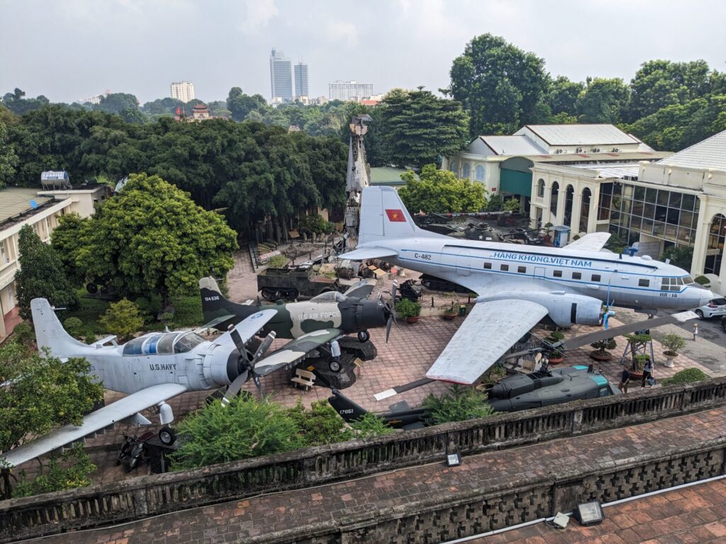
During my trip I presented my research to mine action stakeholders in Vietnam and Lao PDR, as well as researchers at the Hanoi University of Science and Technology. A particular highlight of the trip was my visit to Quang Tri province, the most heavily contaminated province in Vietnam. While there, I learned a lot about the important work of the Quang Tri Mine Action Center (QTMAC) and the many NGOs who are working hard to clear Quang Tri from UXO.
Overall, this trip was a great experience and without a doubt my favourite part of the PhD so far. While satellites are a great tool to look at a place from afar, they can’t quite replace seeing a place with your own eyes. And they definitely can’t replace experiencing the hospitality and eating the delicious food in Southeast Asia. A huge thank you to everyone who supported the trip and to all the people I met. I hope to return soon!
Philipp is a student at the University of Edinburgh, School of Geosciences and is supervised by Dr Gary Watmough. His project is entitled Impact of humanitarian mine clearances on tropical forest carbon storage and is supported by his CASE partner The Conflict and Environment Observatory.
Another Antarctic Adventure
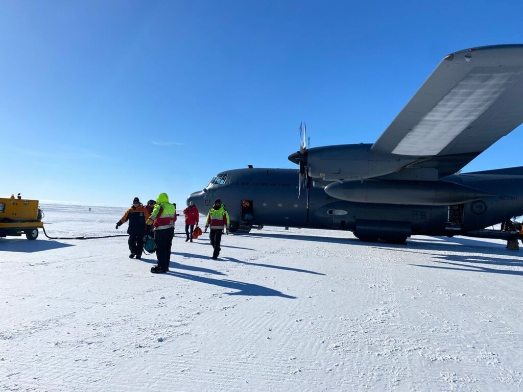
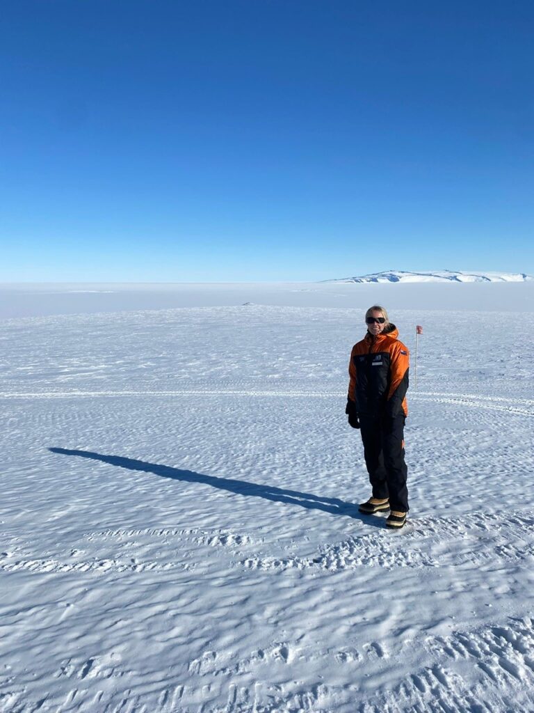
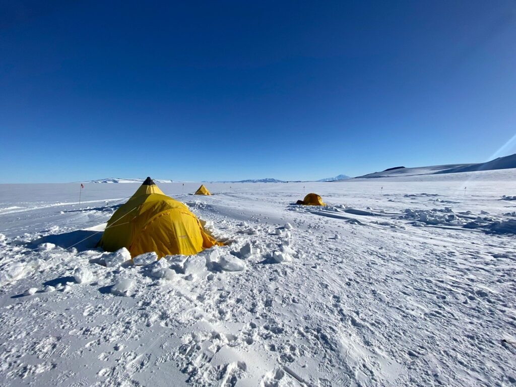
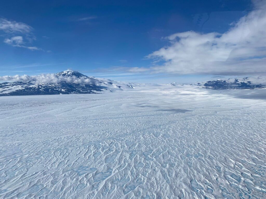
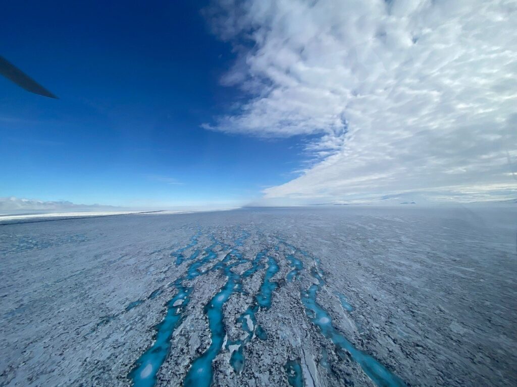
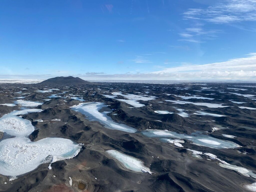
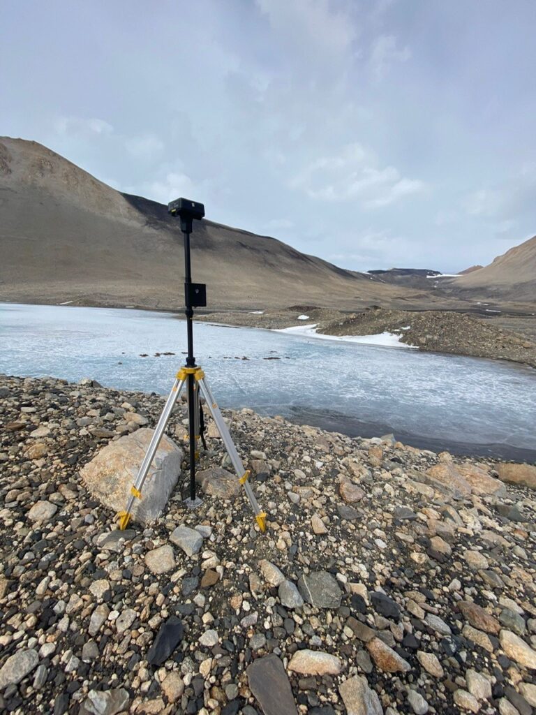
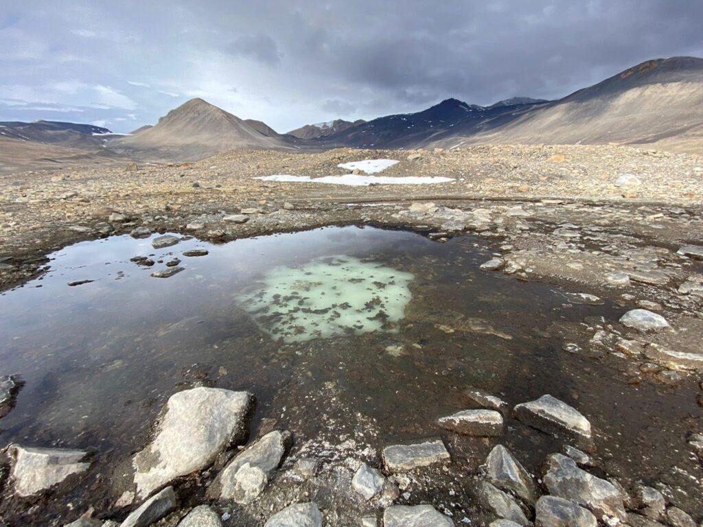
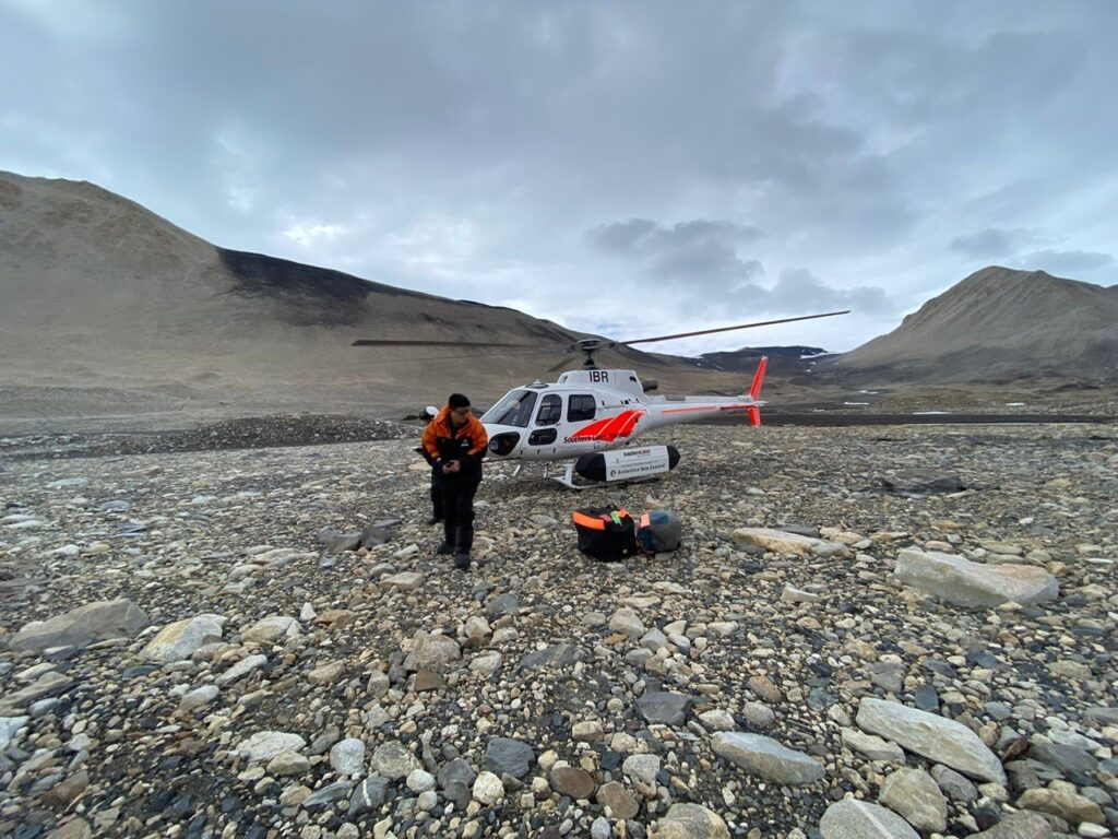
SENSE student Charlotte Walshaw is spending her second Christmas on fieldwork in Antarctica and has sent us some amazing photos.
These photos are take on the Ross Ice Shelf around Scott base New Zealand’s Antarctic research station
Charlotte’s group then moved to pyramid trough where they are mapping vegetation through multi spectral and hyperspectral drone flights. She has also been collecting ground truth data for her Sentinel 2 dataset.
This is Charlotte’s second visit to Antarctica as she spend a field season there in 2022/23 Charlotte is a student in the School of Geosciences at the University of Edinburgh and is supervised by Dr Claudia Colesie. Her project is entitled Faster, greener, and more competitive? How will vegetation alter in a changing Antarctic?
We hope the rest of the trip goes well for you Charlotte and enjoy spending time in these amazing landscapes.