Ruth Amey, SENSE’s Leeds-based centre manager, has just published a new paper using satellite imagery to create high-resolution maps of ground surface elevation. This is then used to better inform estimates of hazard and risk due to earthquakes.
The paper focusses on Almaty in Kazakhstan. Almaty, like many cities around the world, it is located close to a number of active faults on which earthquakes can occur. There may also potentially be faults underneath the city that have been buried as Almaty has expanded and increased in population to approximately 2 million.

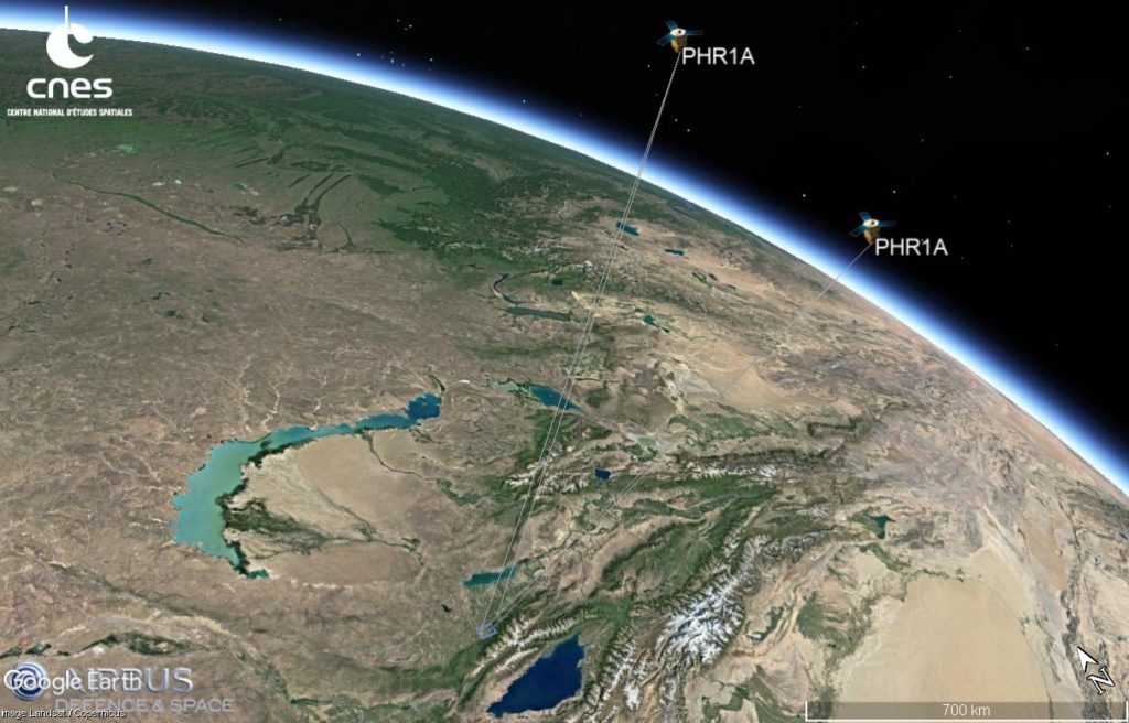
In the paper, the authors use Pleiades and SPOT stereo satellite imagery. This is optical satellite imagery of the same area taken from at least two different angles.

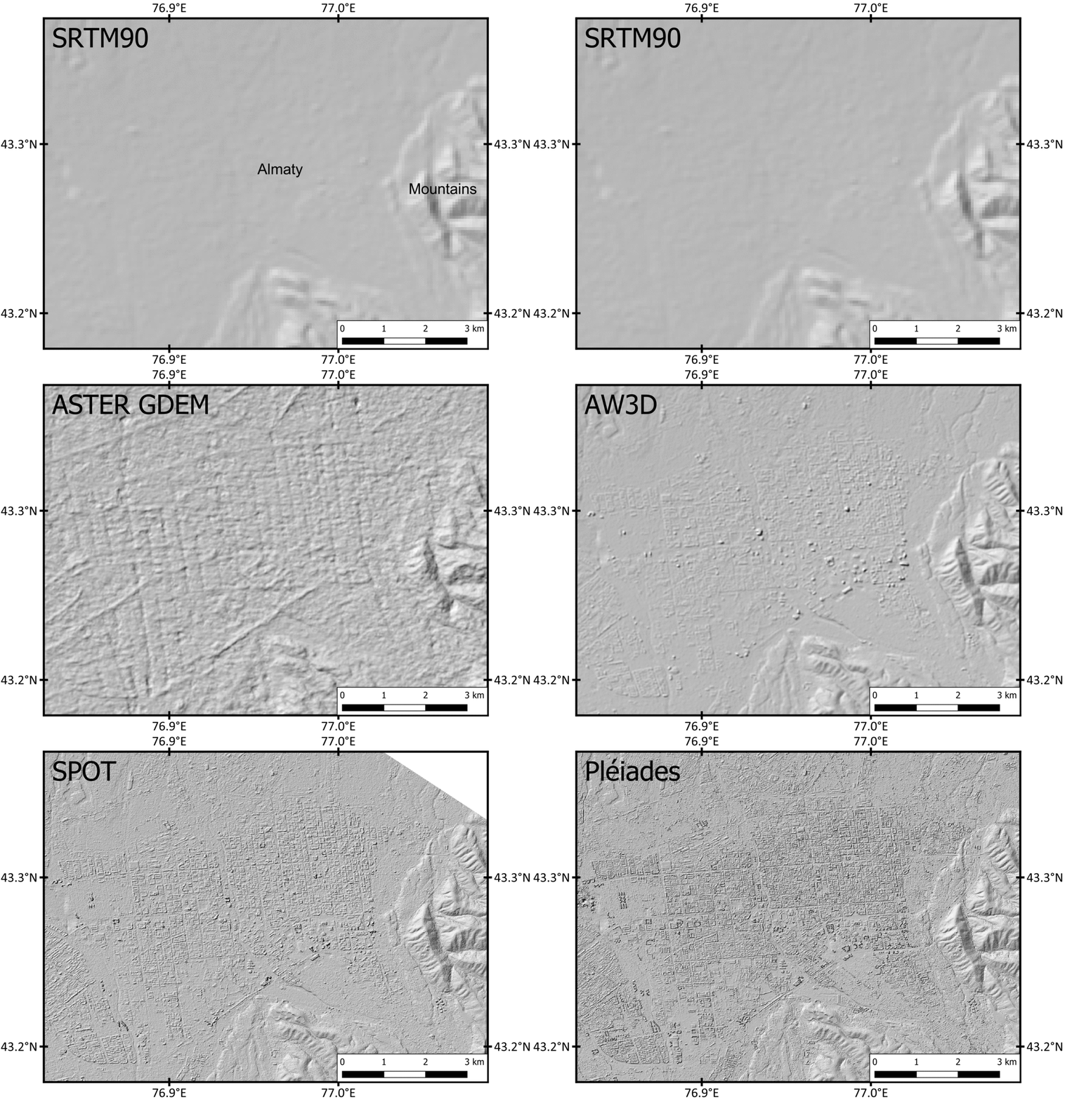
Then by using photogrammetric methods, the authors create high-resolution digital elevation models (DEMs). As the gif below shows, DEMs at very low resolution can pick out the outline of mountain ranges, but not much more than this. With Pleiades imagery, we can create DEMs of approximately 2m resolution, meaning we can pick out details in the city such as buildings and trees. This is the resolution needed to identify subtle changes in elevation in cities that may indicate there are active faults.

With these high-resolution DEMs, fieldwork and other literature, the authors identify and examine a potential active fault underneath Almaty city. The authors then use the Global Earthquake Model‘s Openquake Engine to calculate the hazard (ground shaking) and risk (damage and losses) to Almaty city.


